

A group of Chinese researchers has established a spatial distribution dataset of China's lakeshore wetlands (LSWs) with a 10-meter spatial resolution for the period from 2019 to 2023, according to a recent research article published in Journal of Hydrology: Regional Studies.
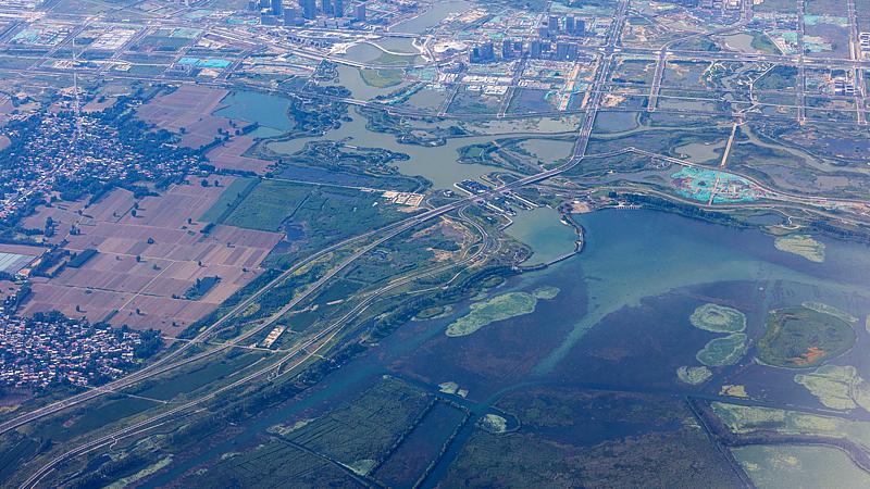
Drone view of wetland landscape in Xiongan, north China's Hebei Province, June 26, 2026. (Photo: VCG)
LSWs are located in the transitional zones between lakes and land, with their spatial boundaries constantly shifting in response to the rise and fall of lake water levels.
The researchers from the Northeast Institute of Geography and Agroecology under the Chinese Academy of Sciences developed an automatic identification method based on time-series remote sensing data, which enabled large-scale and high-precision mapping of LSWs across the country and facilitated a systematic analysis of their transformation patterns and driving factors.
They revealed that LSWs exhibit distinct spatial heterogeneity, with denser distributions in humid southeastern China.
Specifically, basin runoff is the predominant factor influencing changes in lakeshore wetlands across China. In cold regions, rising temperatures and snowmelt exert more pronounced effects on wetland changes, whereas in arid areas, variations in precipitation and evaporation play a dominant role, according to the study.
The alternation between droughts and floods tends to cause more frequent fluctuations in lake water levels, thereby further intensifying changes in LSWs.
The researchers noted changes in LSWs would influence ecological processes such as waterbird habitat quality and greenhouse gas emissions.
The new high-precision dataset is expected to provide significant data in support of conservation, ecological assessment and scientific management of wetlands in China and also offers a new technical approach for global LSW monitoring.