


China's latest report finds Manila's S.China Sea claims based on legal misinterpretation, fraught with contradictions, and undermining regional stability
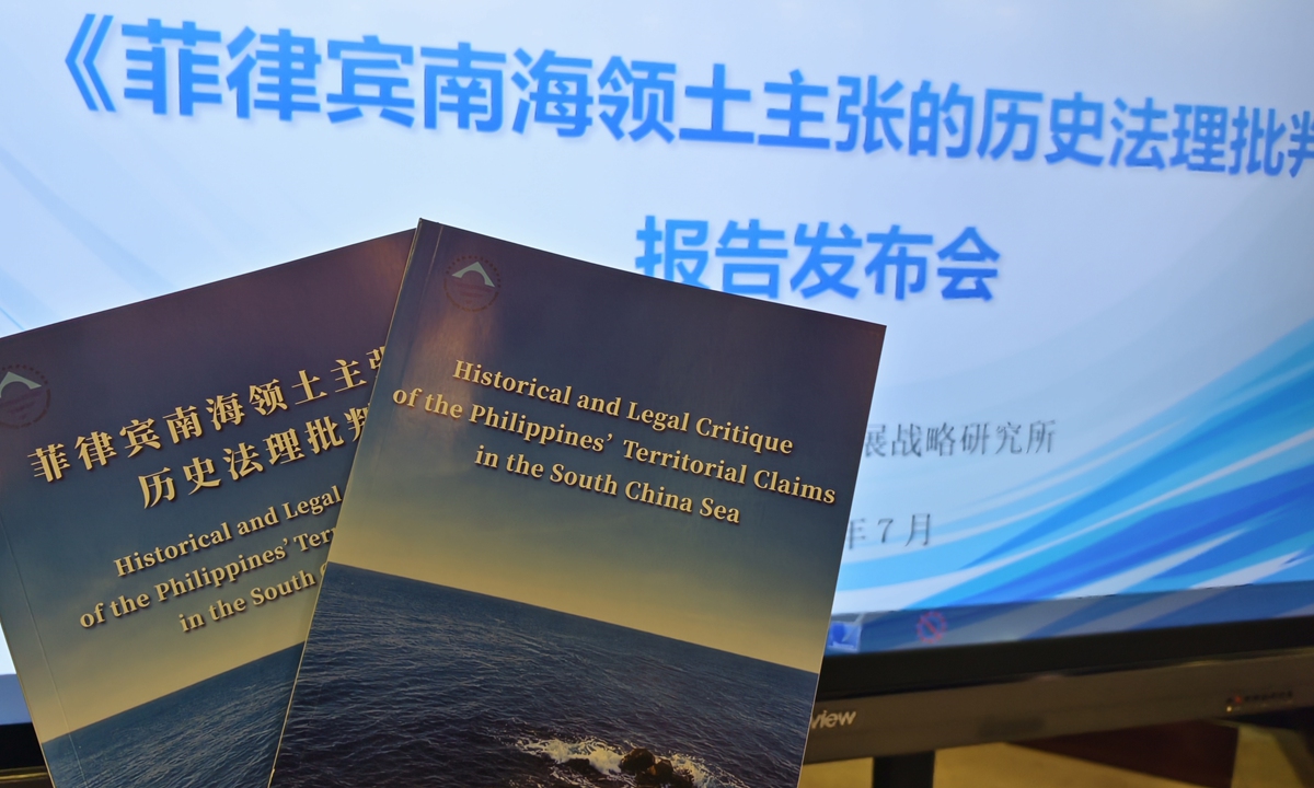
The China Institute for Marine Affairs under China's Ministry of Natural Resources releases a report titled Historical and Legal Critique of the Philippines' Territorial Claims in the South China Sea on July 8, 2026. (Photo: GT)
The China Institute for Marine Affairs under China's Ministry of Natural Resources released a new report on Wednesday critically examining the Philippines' territorial claims over Huangyan Dao and parts of the Nansha Qundao. The report finds that Manila's historical and legal arguments rest on misinterpreted sources and lack substantive juridical value, serving primarily as pretexts to expand territory beyond internationally recognized limits. Such unilateral efforts not only undermine the postwar order but also pose risks to regional stability and the rule of law at sea.
Since the 1970s, the Philippines has used presidential decrees, constitutional amendments, and other legislation to claim sovereignty over parts of China's Nansha Qundao and Huangyan Dao on different grounds, revealing its attempt to break through international treaty limits and expand its territory.
The report, titled Historical and Legal Critique of the Philippines' Territorial Claims in the South China Sea, assesses the Philippines' territorial claims and so-called sovereign "grounds" in the South China Sea, finding that these "grounds" have shifted over time and events, even contradicting each other. Yet, whether examined from a historical or legal perspective, the Philippines' unlawful territorial claims remain unconvincing.
Persistent misreading and historical distortionTaking Huangyan Dao as an example, the Philippines did not make any territorial claim over it until 1997. After 1997, as circumstances changed, the Philippines repeatedly altered its so-called "bases" for claiming sovereignty over Huangyan Dao. For example, one argument is that it claimed territorial sovereignty over Huangyan Dao based on so-called maritime zones; another contends that the Philippines acquired sovereignty through prior discovery and occupation; and there is also a claim that involves the reinterpretation of international treaties that establish its territorial boundaries. The Chinese official report provides point-by-point refutations.
First, the Philippines has repeatedly asserted — explicitly and implicitly — that Huangyan Dao falls within its claimed exclusive economic zone and therefore belongs to it. This view clearly lacks any basis in international law, the report said.
Huangyan Dao is a "naturally formed land area above water at high tide." The principle that "land dominates the sea" is a fundamental rule in the law of the sea for determining the ownership and scope of maritime zones. The exclusive economic zone and continental shelf regimes stipulated in the UN Convention on the Law of the Sea cannot serve as a legal basis for claiming sovereignty over any land territory. This is basic common sense in international law.
A country should assert and exercise maritime jurisdiction while respecting the territorial sovereignty of other countries. It must not use maritime jurisdiction to deny or infringe upon another country's territorial sovereignty, said the report.
"That is like me placing my cup on your table, and you claiming the cup as yours simply because the table belongs to you - it is absurd," Chen Xidi, a researcher from China Institute for Marine Affairs at the Ministry of Natural Resources, also one of the lead authors of the report, told the Global Times.
Regarding another Philippine claim of "first discovery and occupation of Huangyan Dao," the report also refutes it. For instance, the Philippines places great importance on old maps, particularly the 1734 Carta Hydrographica y Chorographica de las Yslas Filipinas (commonly known as the Murillo Velarde map). The Philippines argues that the reef marked "Panacot" west of Luzon on the map is today's Huangyan Dao, concluding that the Philippines discovered it before 1734.
The report points out that multiple studies have proven "Panacot" on the Murillo Velarde map is not Huangyan Dao but refers to coastal features near Luzon. The so-called "evidence" presented by the Philippines is a complete case of mistaken identity. British and Spanish expeditions from 1792 to 1805 surveyed the area and confirmed that "Panacot" was erroneously included on maps and did not exist in reality. It was subsequently removed from later maps.
The report states that the Philippines' continued promotion of its alleged "first discovery" of Huangyan Dao, based on misinterpretation of historical facts, is merely an ineffective repetition of its legally baseless illegal claims. It serves only to confuse the public and create a misleading impression.
The Philippines has also repeatedly cited the 1875 Carta General del Archipielago Filipino, the last official map of Philippine territory during the Spanish regime, to prove its territorial sovereignty. However, this map is merely a hydrographic chart intended to mark navigation hazards and sea depths, not an administrative map defining the boundaries of the Philippines under the Spanish rule. It has no evidentiary value for proving territorial ownership, the report clarifies.
Furthermore, the Philippines' logic — that any feature appearing on the map belongs to it — is absurd. The map includes parts of eastern Malaysia, Dongsha Qundao, and even China's Taiwan island, none of which have any connection to Philippine territory. This in itself refutes the Philippine position.
If such maps can be used as "evidence," then the evidence China can present is far more abundant and compelling than the handful of maps the Philippines repeatedly cites, Wang Nan, an associate professor at the School of Marxism, Beijing Jiaotong University, told the Global Times.
The report also notes that official maps published by the US and those published by the Philippines after independence consistently excluded Huangyan Dao from its territory.
After gaining independence, the Philippines acknowledged through various means that Huangyan Dao lies outside its territory. For example, until the 1990s, official Philippine maps marked Huangyan Dao as outside its territory. This position is also confirmed in official documents from various levels of the Philippine government listed in the report. This also indirectly proves that the Philippines' claims over Huangyan Dao are self-contradictory and groundless.
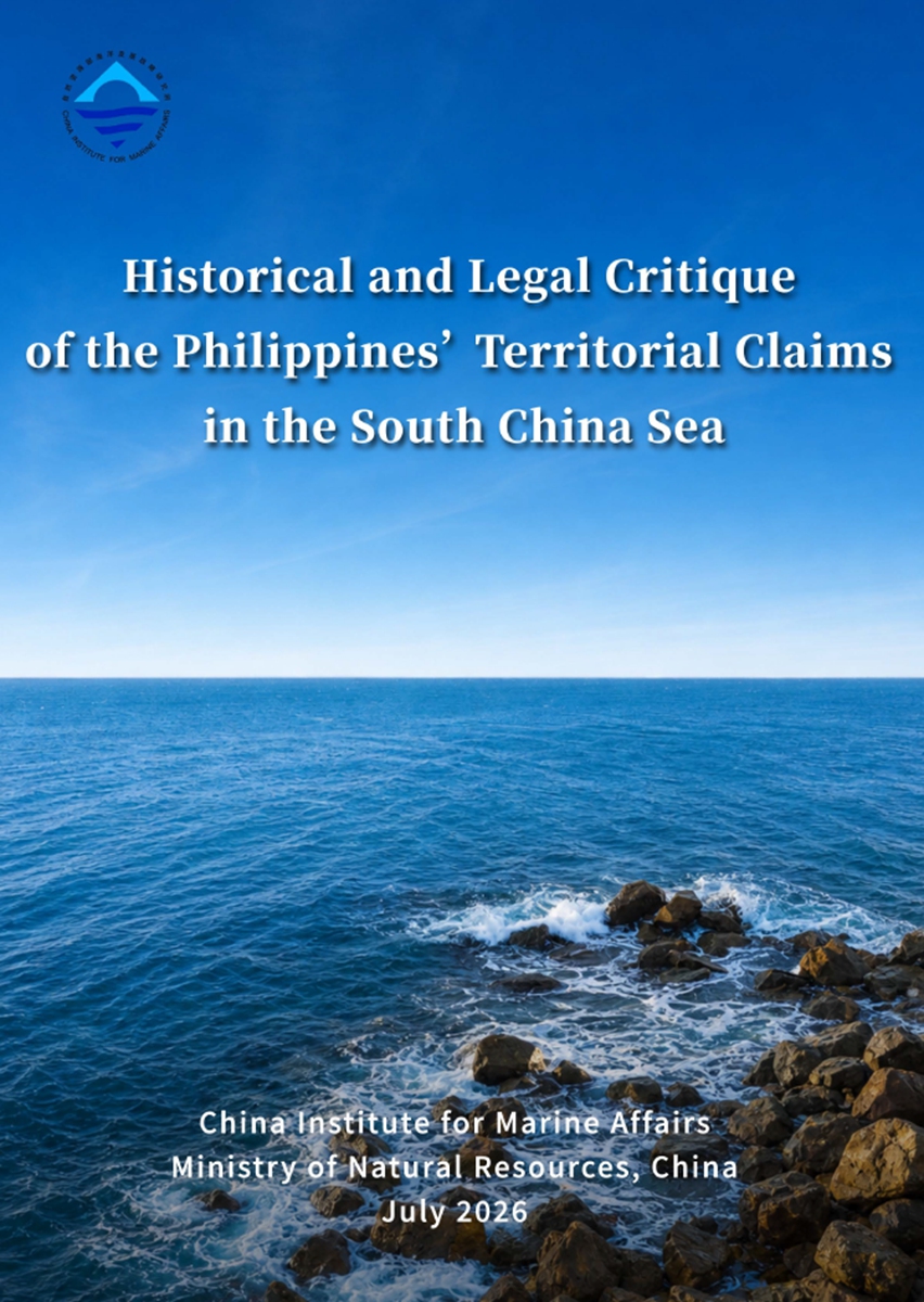
The China Institute for Marine Affairs under China's Ministry of Natural Resources releases a report titled Historical and Legal Critique of the Philippines' Territorial Claims in the South China Sea on July 8, 2026. (Photo: Courtesy of China Institute for Marine Affairs)
The Philippines has illegally occupied certain islands and reefs in the South China Sea by force and has, over decades, attempted to legitimize these occupations through domestic legislation, maritime actions, and public opinion manipulation. For example, the Philippines claims that Huangyan Dao belongs to it because it is closer to the Philippines than to China.
The report explains that such hype creates a misleading public perception and distorts international understanding of territorial sovereignty issues.
First, from the perspective of international law, geographical proximity is not a recognized mode of acquiring territory. There is no rule in international law that allows a country to claim sovereignty over islands beyond its territorial sea solely based on proximity. Proximity itself confers no sovereign rights.
Second, if the logic of "whoever is closer owns it" were universally accepted, the certainty of territorial boundaries would collapse, and the fundamental principle of "territorial integrity" in international relations would become meaningless.
Chen told the Global Times that, by distorting historical facts and misapplying international law, the Philippines continues to mislead international public opinion and carry out illegal provocative actions to advance illegal sovereignty claims over China's Huangyan Dao and Nansha Qundao. The harms are threefold: first, it challenges the international legal system and the stability and inviolability of national territorial boundaries; second, it seriously threatens peace and stability in the South China Sea and becomes a destabilizing factor hindering economic and social development in neighboring countries; third, it undermines the postwar international order and shifts the risks arising from its pursuit of illegitimate self-interest onto the international community.
All countries should fully recognize the serious harm of the Philippines' illegal actions, which should not be tolerated by the international community, the expert said.
Chen also noted that the Philippines' territorial expansion attempts clearly violate the spirit and provisions of the Declaration on the Conduct of Parties in the South China Sea (DOC). The core principle of the DOC is that all parties commit to exercising self-restraint and refraining from actions that would complicate or escalate disputes or affect peace and stability. However, the Philippines' recent unilateral actions — including expanding military facilities on illegally occupied islands and reefs and amending domestic laws to solidify illegal claims — run directly counter to these commitments.
These actions seriously erode mutual trust among regional countries, intensify confrontations over positions, put pressure on the "Code of Conduct" negotiations, and significantly hinder joint efforts by China and ASEAN countries to maintain peace and stability in the South China Sea, Chen said.