


BEIJING, July 23 (Xinhua) -- China's meteorological authorities have activated a Level-III emergency response for typhoon, heavy rain and severe convective weather on Thursday, the China Meteorological Administration said.
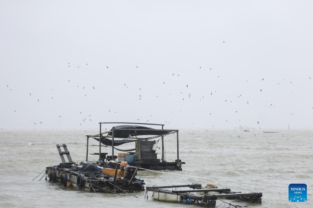
This photo taken on Sept. 6, 2024 shows the sea near Puqian Township of Wenchang City, south China's Hainan Province. (Photo: Xinhua)
A tropical depression east of the Philippines is expected to develop into the 12th typhoon of the year, named Noul, within the next 12 hours, according to the National Meteorological Center (NMC), which issued a yellow alert for the typhoon.
It is forecast to make landfall along the coast between Zhuhai of Guangdong Province and Zhangpu of Fujian Province from Saturday night to Sunday morning. After landfall, the typhoon will gradually turn north by west and weaken in intensity.
Affected by the typhoon, winds will gradually strengthen along the coasts of Guangdong and Fujian over the next three days. Accumulated rainfall in eastern Guangdong, southern Fujian, and southern Jiangxi is expected to reach 150 to 300 millimeters, with some areas seeing 400 to 450 millimeters, posing a high risk of disasters.
The NMC also issued a blue alert for heavy rain and a yellow alert for severe convective weather. From 8 p.m. Thursday to 8 p.m. Friday, heavy to torrential rain is expected in parts of 10 provincial-level regions, including Shandong, with local downpours in western Shandong, northern Henan, and the southern coastal areas of Guangxi.
In addition, parts of Shandong, Henan, Anhui, and Jiangsu may experience gales of force 10 or above, with the possibility of tornadoes in some areas.
China has a four-tier, color-coded weather warning system, with red representing the most severe warning, followed by orange, yellow and blue.