


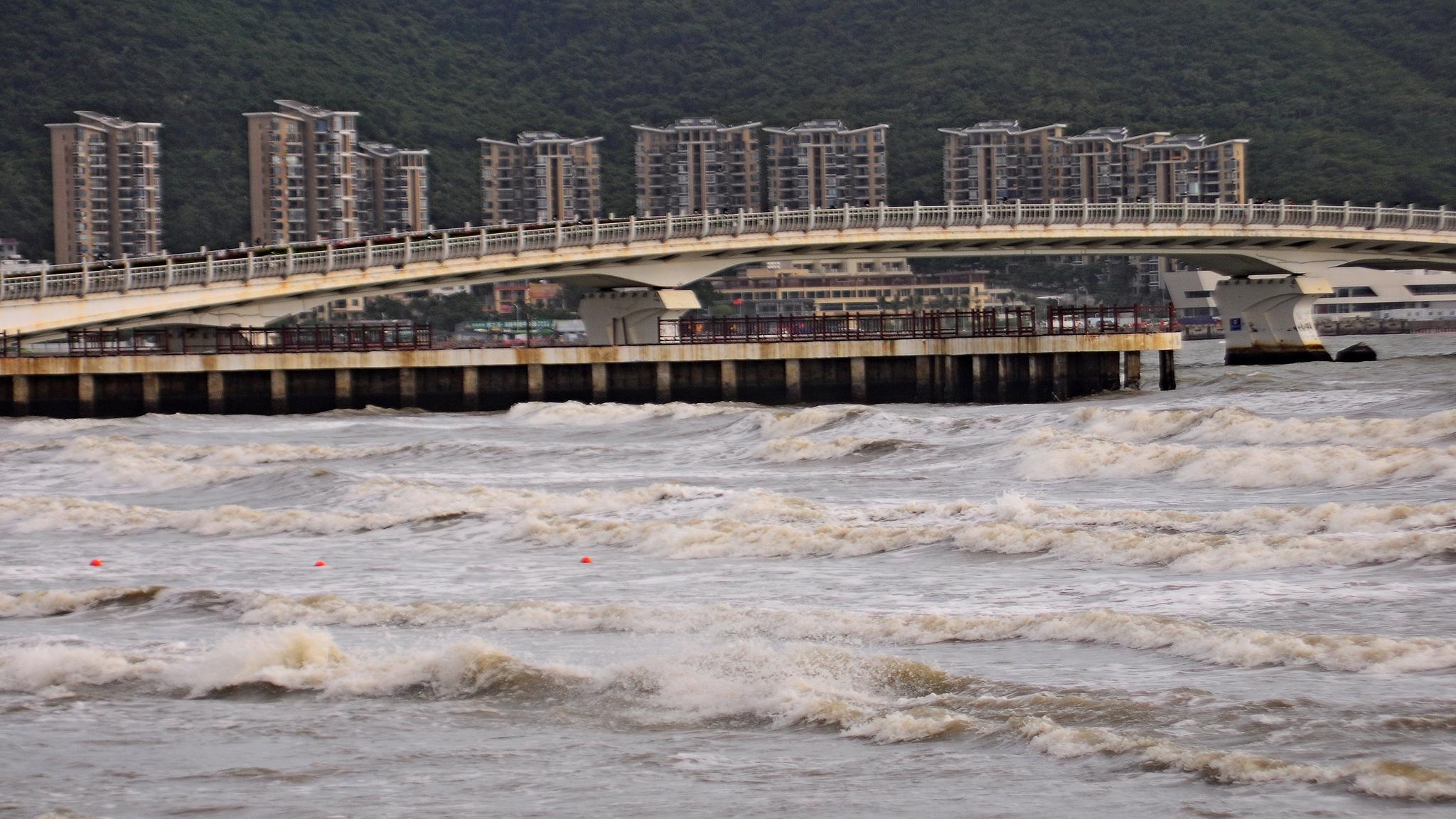
Sanya Bay saw strong winds and huge waves due to the impact of a tropical storm, south China's Hainan Province, August 21, 2026.
Multiple tropical systems are active over the western Pacific and the South China Sea, bringing heavy rain and severe weather to parts of southern and eastern China, according to the China Meteorological Administration (CMA).
The 20th typhoon of the year, Gaenari, developed over the western Pacific on Saturday afternoon. At 2 p.m., its center was about 320 kilometers east-northeast of Taipei in China's Taiwan, with maximum sustained winds of 18 meters per second. It is expected to move rapidly northwestward with little change in intensity.
Typhoon Saudel, the 18th of the season, strengthened into a typhoon late Friday and could reach super typhoon strength. At 5 p.m. on Saturday, its center was about 440 kilometers northeast of Guam. The typhoon is expected to grow more powerful and could hit Japan's Okinawa Prefecture from Wednesday to Thursday, according to Japan's meteorological agency.
Typhoon Narra, the 19th, was located over the Beibu Gulf on Saturday morning and is expected to linger there through Sunday, strengthening to a severe tropical storm before moving toward coastal Guangxi and western Guangdong.
Meteorological analyst Sun Qianqian said the monsoon over the South China Sea is highly active, with multiple tropical systems interacting.
From August 22 to 24, heavy rain and severe convective weather are expected to hit coastal areas from southern to eastern China, with the heaviest downpours in Guangxi, Hainan, Taiwan, Guangdong, Fujian and the Shandong Peninsula, Sun said.
Authorities have urged regions to stay alert for secondary disasters, including flooding and geological hazards.
On August 21, the State Flood Control and Drought Relief Headquarters and the Ministry of Emergency Management activated a Level-IV emergency response for Hainan, Guangxi and Guangdong.