


Technology powers Gyirong rescue, guards against secondary disasters
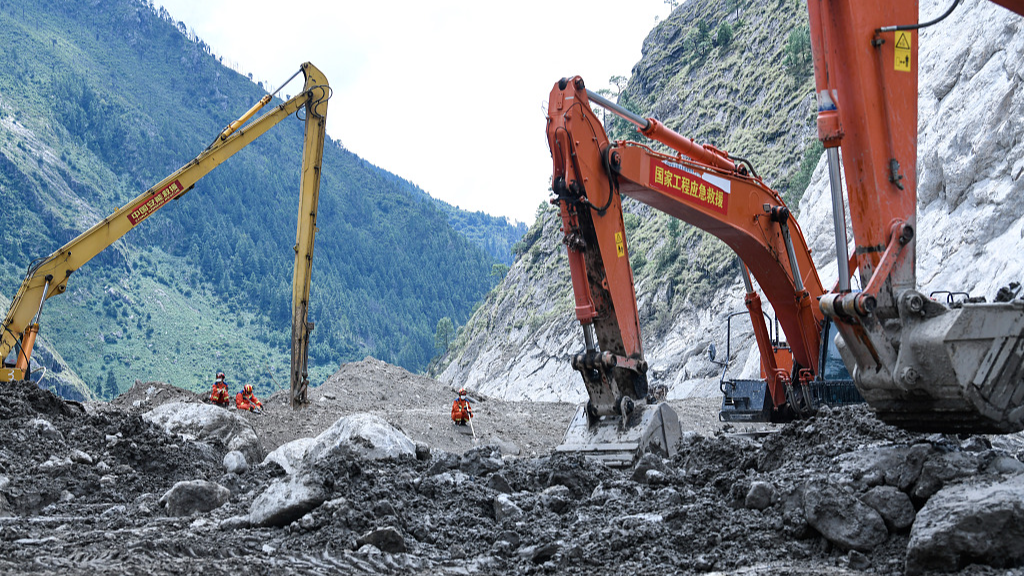
Excavators and other heavy machinery operate in the hardest-hit area of Gyirong Port, southwest China's Xizang Autonomous Region, September 5, 2026. (Photo: VCG)
With access to Gyirong Port now restored, authorities are stepping up monitoring for potential secondary disasters along the rescue route and at the disaster site to ensure safe rescue operations following a mudslide that struck Gyirong Port in southwest China's Xizang Autonomous Region on August 26.
The end of the mudslide does not mean the danger is over. Large amounts of ice and debris may remain in the valleys after the glacier collapse, and unstable slopes could fail again under rainfall. Debris dams formed by loose sediment and rock also remain at risk of being overtopped or breached. Before rescue teams move forward, they must assess slope stability, water levels and the condition of these debris barriers.
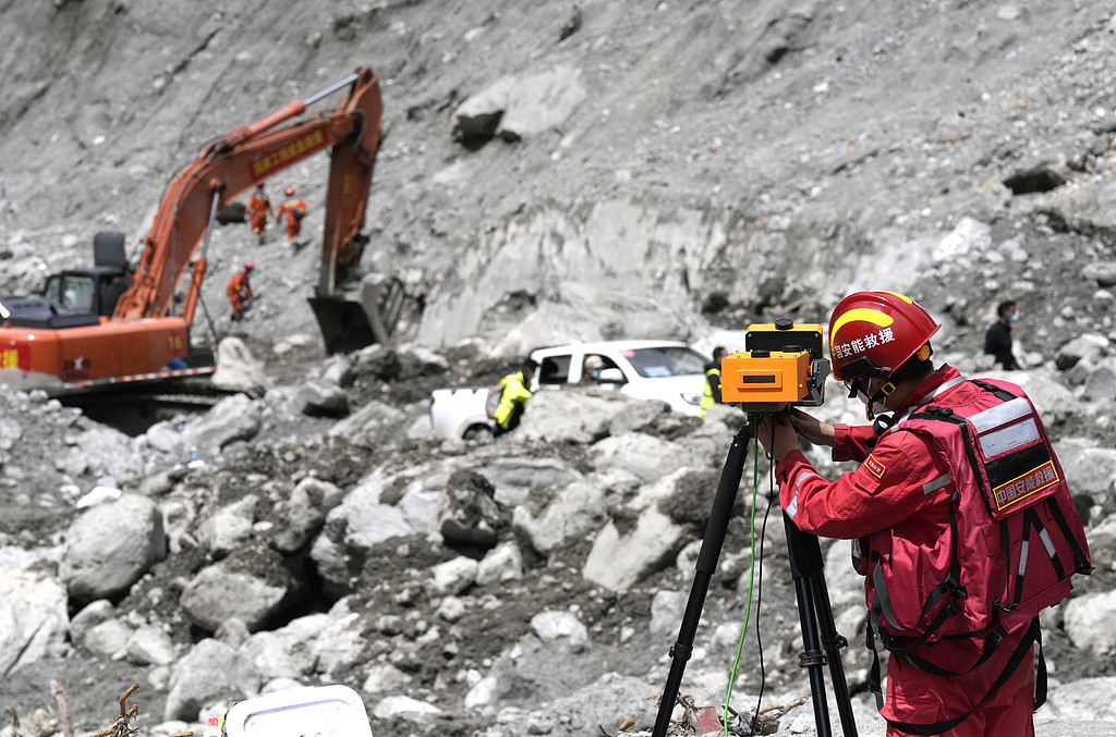
A worker uses slope radar at the rescue site in Gyirong Port, southwest China's Xizang Autonomous Region, September 3, 2026. (Photo: VCG)
As of 4 p.m. on September 2, 172 experts and technical personnel from the natural and water resources units, the meteorology and emergency management authorities, and the Chinese Academy of Sciences have been working at the site with 150 sets of monitoring and rescue equipment.
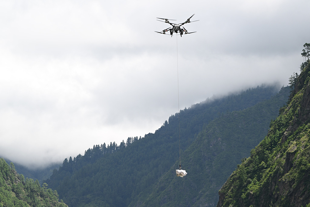
Firefighters use drones to deliver supplies by air at Gyirong Port, southwest China's Xizang Autonomous Region, August 28, 2026. (Photo: VCG)
The meteorological teams have deployed 10 automatic weather stations and an X-band dual-polarization weather radar to monitor severe convective weather within a 75-kilometer radius of the port and surrounding watersheds. The natural resources teams conduct geological hazard inspections and 3D mapping along two emergency access routes and other affected areas, and the water authorities monitor water levels and other hydrological conditions.
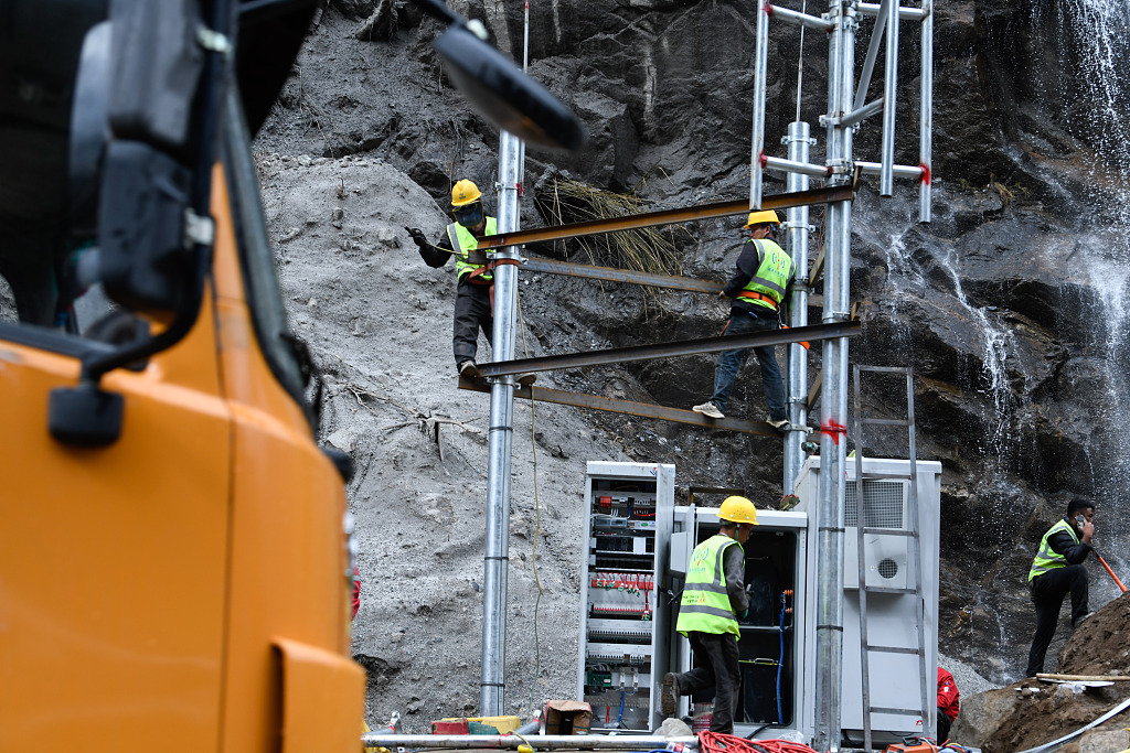
Workers carry out rescue operations at Gyirong Port, southwest China's Xizang Autonomous Region, September 5, 2026. (Photo: VCG)
The Ministry of Emergency Management has deployed slope radars, drones and other equipment to monitor the former barrier lake and its dam, the Lantang glacier group, and other high-risk areas. The monitoring teams are also working with the local authorities to install warning signs, establish observation posts and set up evacuation areas along the G216 highway and around Gyirong Port.
Beyond the immediate rescue effort, China is also providing meteorological support to neighboring Nepal. The China Meteorological Administration has shared Fengyun satellite data with Nepal, provided seamless 30-day forecasts, and developed a customized version of its "Mazu" intelligent weather early warning system to support Nepal's emergency response and post-disaster recovery.