


Ministry Minutes | Philippines' so-called 'maritime chart' illegal
China on Tuesday said the Philippines' so-called "maritime chart," which included relevant islands and reefs of China's Nansha Qundao, was "illegal, null and void," and vowed to defend its sovereignty in the South China Sea.
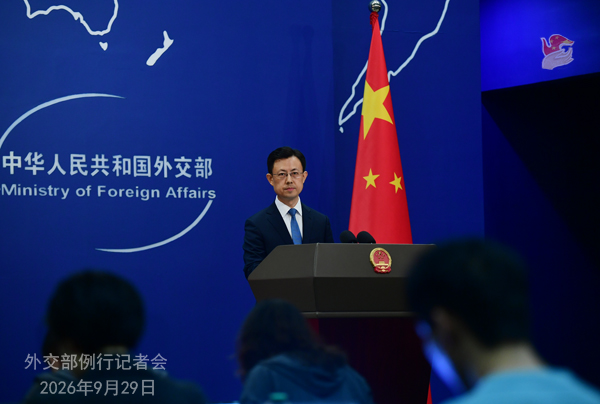
Photo: Chinese Foreign Ministry
Ministry of Foreign Affairs spokesperson Guo Jiakun made the remarks at a routine press briefing in Beijing in response to the updated chart unveiled by the Philippine National Maritime Council on September 25.
Zhongye Dao and Mahuan Dao are part of China's Nansha Qundao and Chinese territory, Guo said. "China has indisputable sovereignty over Nansha Qundao and its adjacent waters."
The Philippines' territorial scope is defined by several international treaties and China's Nanhai Zhudao, including Nansha Qundao, lie beyond that scope, Guo said.
Guo said that the Philippines' illegal occupation of several islands and reefs in Nansha Qundao, designation of so-called "Kalayaan Island Group" beyond its own territory, and so-called "maritime chart," which includes relevant islands and reefs of China's Nansha Qundao, seriously violate China's territorial sovereignty and the UN Charter and relevant international laws.
"Those actions are illegal, null and void," Guo noted.
Guo said China firmly opposes any action by the Philippines that harms China's sovereignty and rights and interests, and will continue to take necessary measures to firmly defend its territorial sovereignty and maritime rights and interests in the South China Sea.