


China's geospatial industry output tops 900 bln yuan in 2025
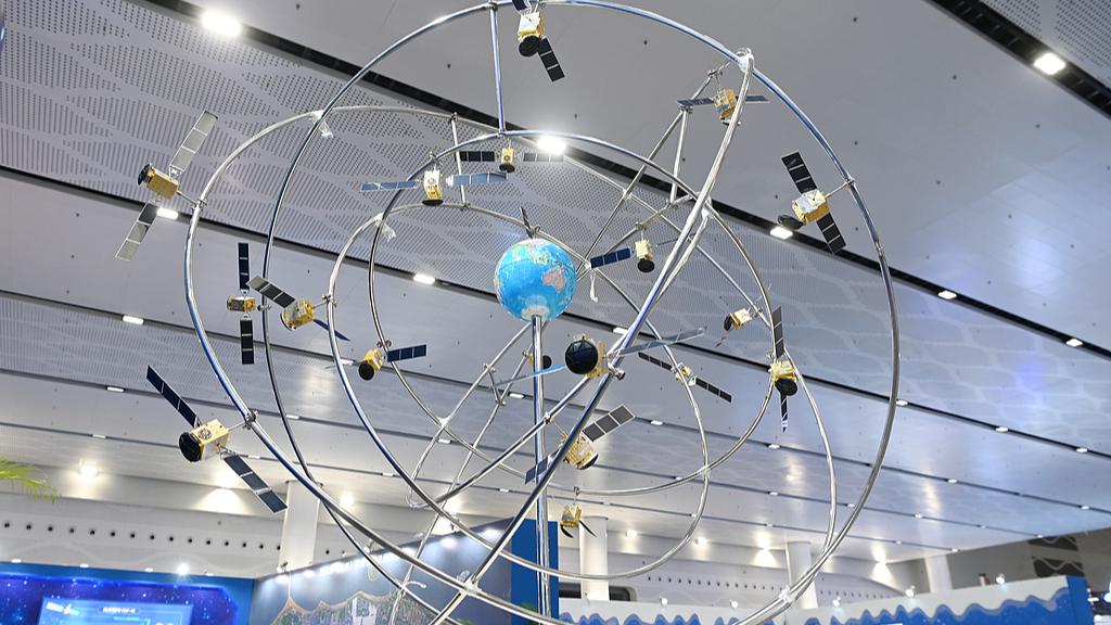
A model of the BeiDou Navigation Satellite System is seen at 2022 China Space Conference, Haikou, south China's Hainan Province, November 25, 2022. (Photo: VCG)
China's geospatial information industry generated a total output value of more than 900 billion yuan (about $134 billion) in 2025, up 5.9% year on year, according to the latest official data released on Thursday by the China Association for Geospatial Industry and Sciences (CAGIS).
In the year, the industry's total output reached 900.5 billion yuan, and the number of enterprises operating in the sector stood at about 269,000, up 11.1% over the previous year.
The figures have articulated a shift from rapid expansion toward high-quality development, with a complete industrial chain now in place covering data collection, intelligent processing, scenario application and comprehensive services.
Meanwhile, the industry's market vitality continued to grow, with small and medium-sized enterprises driving innovation. A total of 447 geospatial companies have been rated as "little giant" enterprises specializing in niche sectors, accounting for 2.5% of all such firms nationwide.
"Against the backdrop of the transition between old and new growth drivers, the geospatial industry as a whole has achieved steady progress with improved quality and expanded scale," said Yi Shubai, CAGIS secretary-general.
"Research and development investment related to geospatial information remains at a high level. Innovative achievements continue to emerge. Technical standards are steadily improving. The industrial foundation has been continuously strengthened. Applications are becoming more extensive and more in-depth," Yi said.
The geospatial information industry's steady development is supported by space infrastructure. In recent years, China has maintained a high-density launch pace for civilian remote sensing satellites, adding more than 100 satellites to space annually. By the end of 2025, China had launched a total of 694 civilian remote sensing satellites, including 126 placed in orbit during 2025 alone. Construction of the next-generation BeiDou Navigation Satellite System is also progressing in an orderly manner, with in-orbit upgrades fully completed this year.
Under its plans, China will continue to deepen research on spatiotemporal intelligent technology, advance the authorized operation of public data resources such as satellite navigation and positioning reference station networks, and unlock the value of geospatial data elements to support emerging industries including intelligent driving and embodied intelligence.
During the 15th Five-Year Plan period (2026-2030), China aims to push the average annual total output value of the geospatial industry above the one trillion yuan threshold.