

China’s homegrown navigation system applied to measurement of Mount Qomolangma
People's Daily
1589771916000
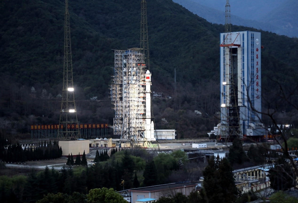
The 54th Beidou satellite is launched from the Xichang Satellite Launch Center in southwest China's Sichuan Province, March 9, 2020. Photo by Li Jieyi / People’s Daily Online

The photo taken in Tingri county, southwest China’s Tibet Autonomous Region shows the stunning scenery of the Mount Qomolangma. Photo by Yu Junmin / People’s Daily Online
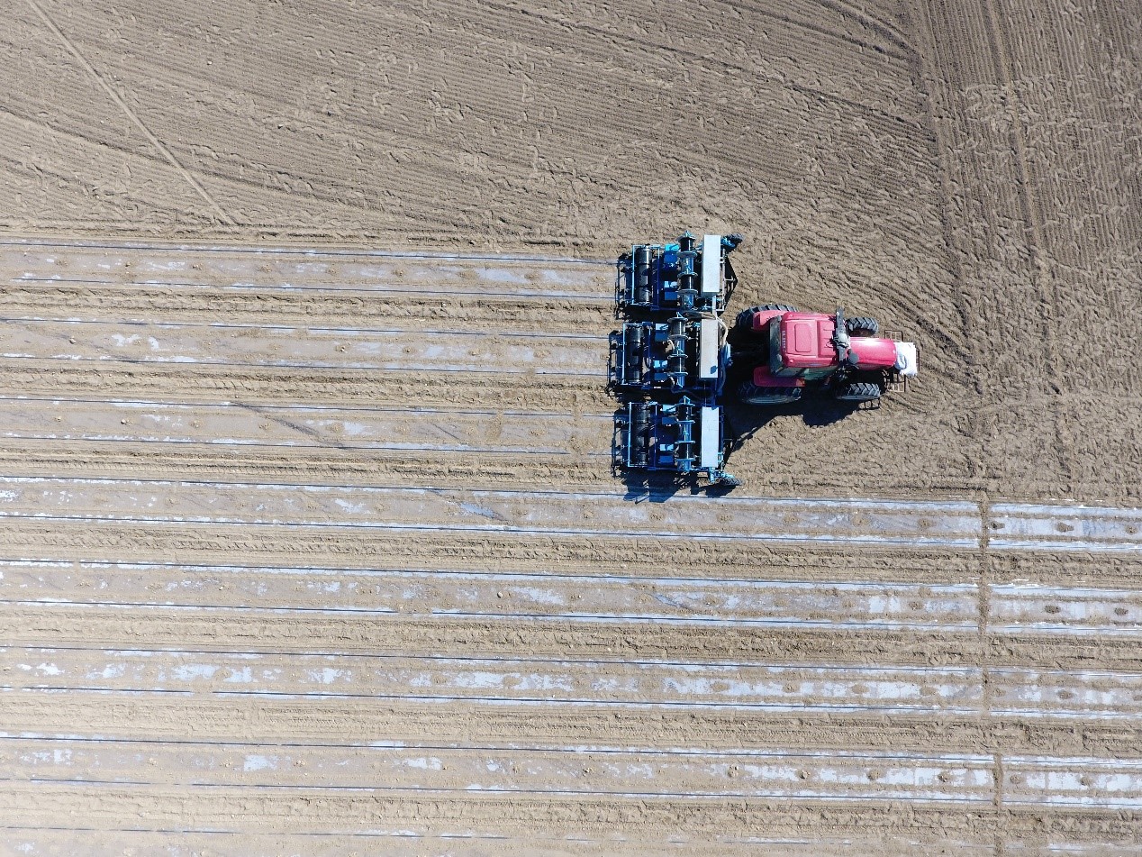
An autopilot tractor works in the field navigated by the BeiDou Navigation Satellite System in Beitun, northwest China’s Xinjiang Uygur Autonomous Region. Photo by Li Haiting / People’s Daily Online