

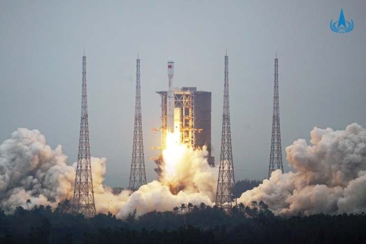
The Long March 8 carrier rocket conducted its maiden flight successfully on Tuesday, carrying five satellites into orbit.
The Yunyao GNSS (Global Navigation Satellite System) radio occultation weather detection unit developed by Tianjin Yunyao Aerospace Technology Co Ltd that is led by Dr Li Fenghui from Tianjin University was carried on the Yuanguang satellite.
This is one of the 80 satellites the company plans to deploy in orbit to form a Meteorological Beidou global network, as part of the company’s Yunyao constellation project.
The GNSS radio occultation weather detection unit is with remote sensing detection equipment. It can detect the refractive index, temperature, humidity and pressure of the air in 0-60km atmosphere and the electron content and density of the air ionosphere (100-800km).
The equipment will provide data for the study of the earth's surface atmosphere and ionosphere, and have important value for weather forecasting, global climate change research and earthquake prediction.
Li’s team spent several years in developing the Yunyao GNSS radio occultation detection unit. It is low cost, small, light, uses little power and has high temporal-spatial resolution. It can simultaneously collect data in multiple regions of the world, and realize continuous detection from the atmosphere to the ionosphere.
“Our unit can be carried into space by different types of satellites,” said Li, adding that the Yunyao constellation project aims to use 80 satellites to form a global meteorological observation network, which can provide weather forecast information and short-term and imminent earthquake prediction information. “It will help to build our country’s own global ocean meteorological navigation system that will serve our ocean-going vessels,” Li noted.