

View of Pamir Plateau in Xinjiang
Xinhua
1592356956000
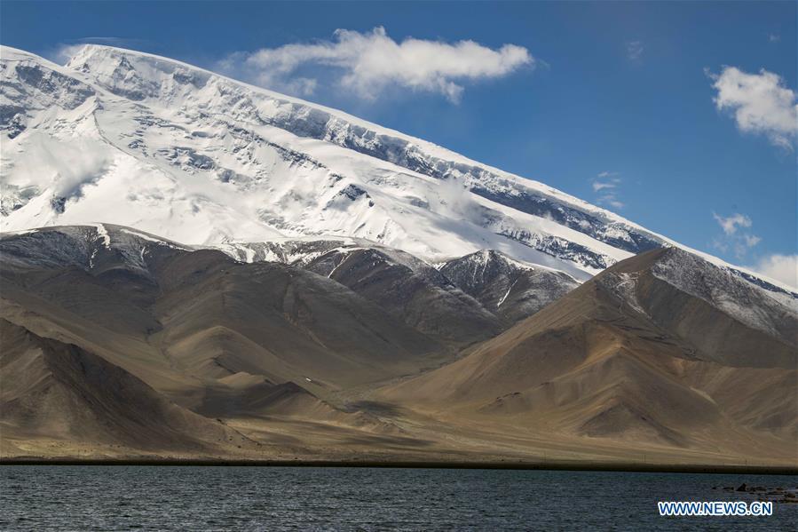
Photo taken on June 16, 2020 shows a view of Mount Muztagata on the Pamir Plateau, northwest China's Xinjiang Uygur Autonomous Region. (Photos: Xinhua)
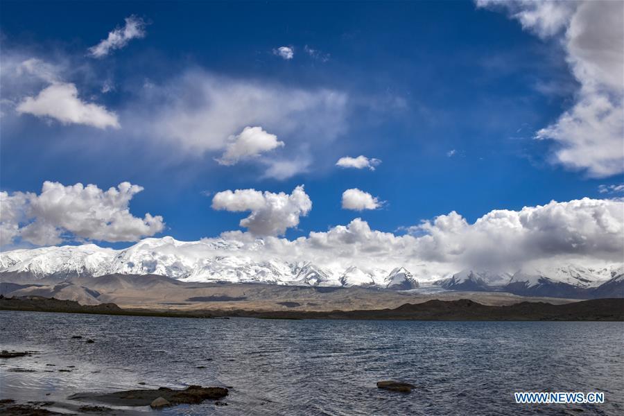
Photo taken on June 16, 2020 shows a view of the Karakul lake and snow mountains on the Pamir Plateau, northwest China's Xinjiang Uygur Autonomous Region.
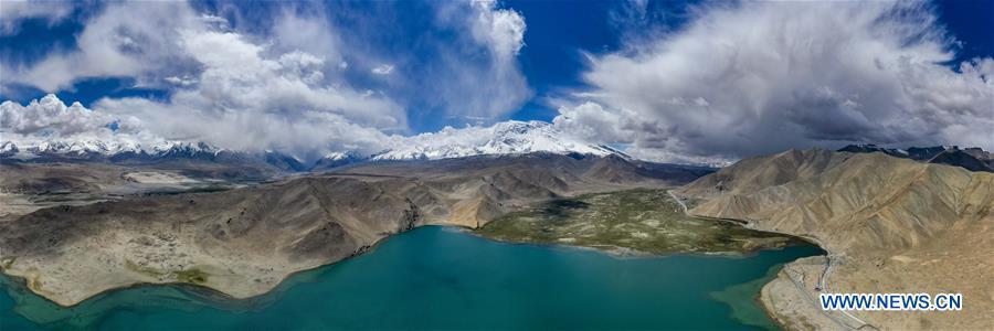
Aerial panorama photo taken on June 16, 2020 shows a view of the Karakul lake and snow mountains on the Pamir Plateau, northwest China's Xinjiang Uygur Autonomous Region.
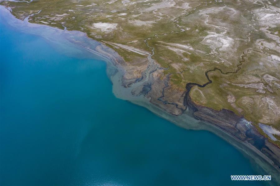
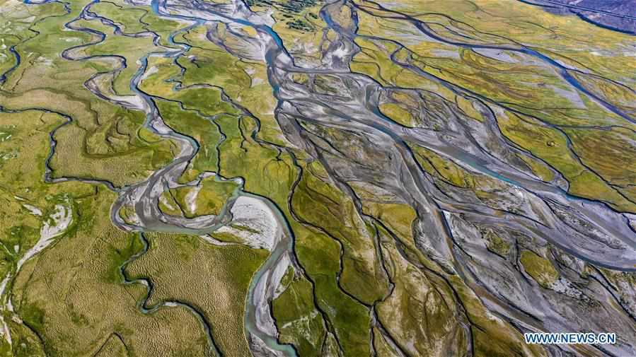
Aerial photo taken on June 16, 2020 shows a view of the Karakul Lake and the lakeside wetlands on the Pamir Plateau, northwest China's Xinjiang Uygur Autonomous Region.
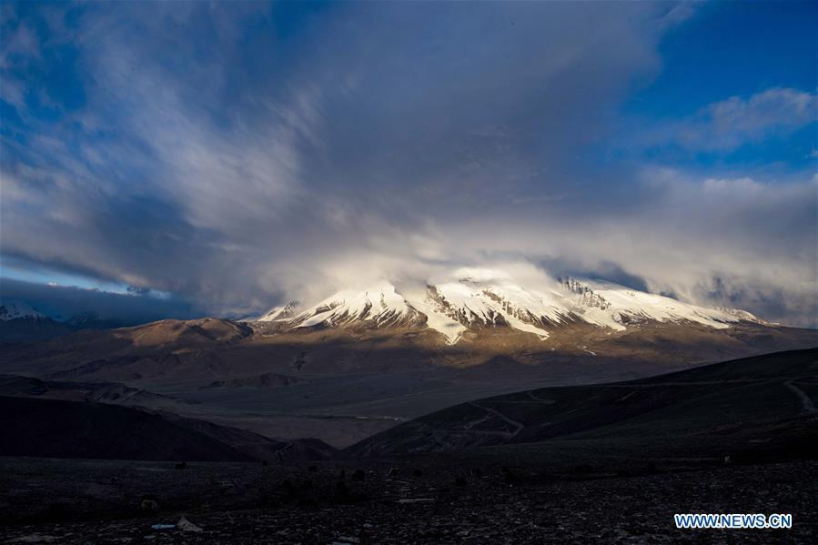
Photo taken on June 15, 2020 shows a view of Mount Muztagata on the Pamir Plateau, northwest China's Xinjiang Uygur Autonomous Region.
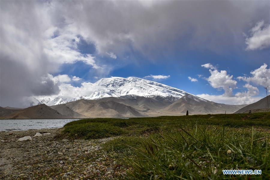
Photo taken on June 16, 2020 shows a view of Mount Muztagata on the Pamir Plateau, northwest China's Xinjiang Uygur Autonomous Region.
Aerial photo taken on June 10, 2020 shows a view of a wetland park in Taxkorgan Tajik Autonomous County, northwest China's Xinjiang Uygur Autonomous Region.
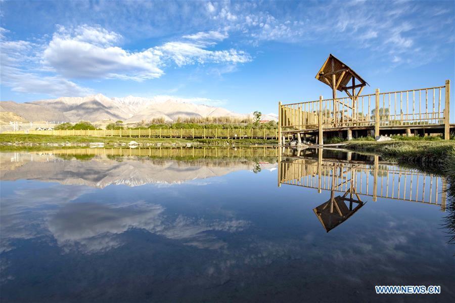
Photo taken on June 10, 2020 shows a view of a wetland park in Taxkorgan Tajik Autonomous County, northwest China's Xinjiang Uygur Autonomous Region.