


Hurricane Polo to make landfall in Mexico after all
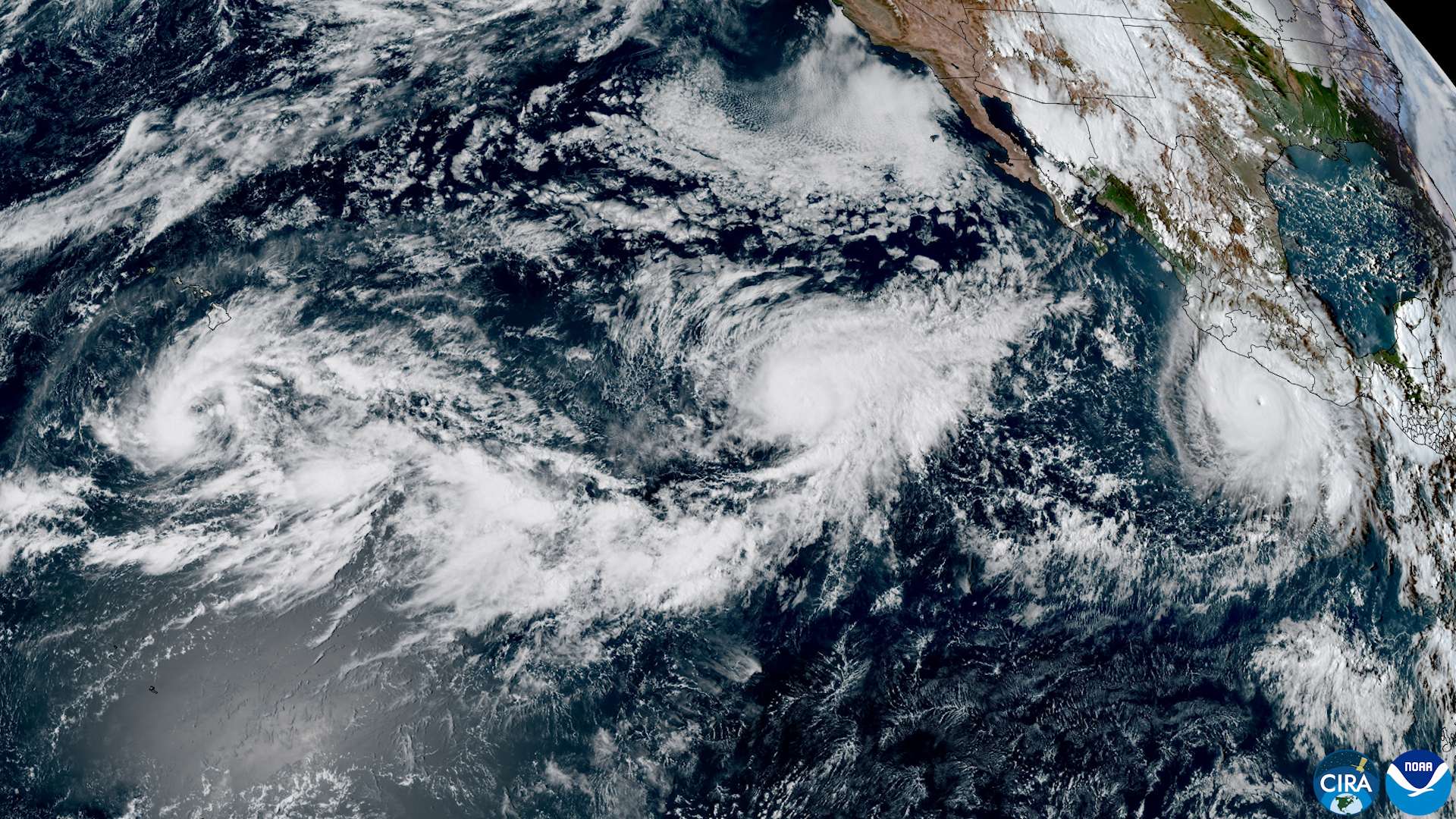
This satellite handout image from the Cooperative Institute for Research in the Atmosphere at Colorado State University and the National Oceanic and Atmospheric Administration (CIRA/CSU and NOAA) shows (L/R) Tropical Storm Nolo, Hurricane Odalys, and Hurricane Polo in the Pacific Ocean, west of the US and Mexico coastlines, on September 24, 2026, at 17:00 UTC. (Photo via AFP)
Hurricane Polo rumbling off the Pacific coast of Mexico is expected to make landfall after all, US authorities said Friday.
The Category 5 hurricane causing damaging waves near the Mexican states of Jalisco and Michoacan is now forecast to move northeast, the US National Hurricane Center (NHC) said.
"A turn toward the northeast is expected on Monday," the NHC stated, adding that Polo is expected to approach Baja California Sur.
"Fluctuations in intensity are possible over the next 12 to 24 hours" and "weakening should begin by Saturday," it said.
The US embassy in Mexico expects Polo to make landfall as a Category 1 hurricane.
Projections show it swirling over the state of Baja California Sur at 11pm on Monday (0600GMT on Tuesday).
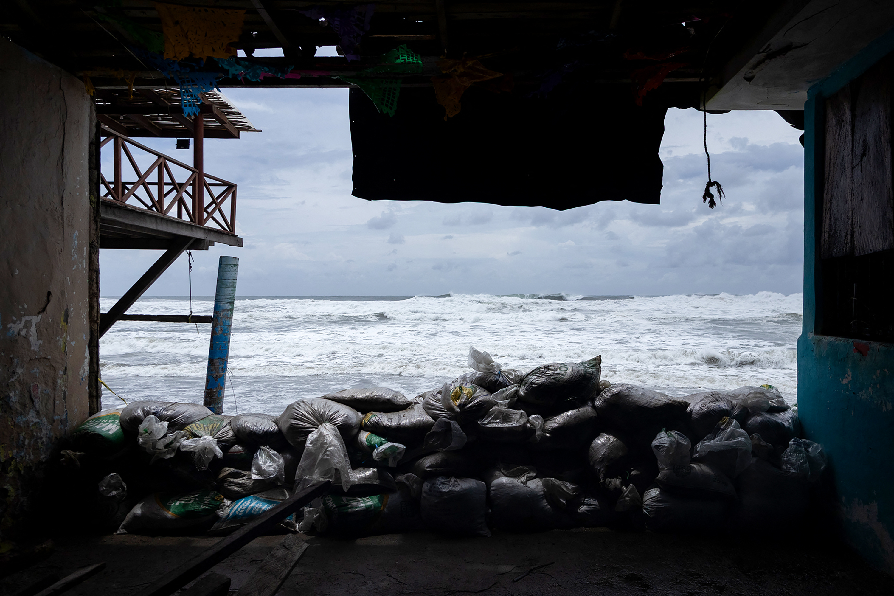
A view of sandbags placed as a protective barrier against strong waves generated by Hurricane Polo at Playa Azul in Lazaro Cardenas, Michoacan state, Mexico on September 24, 2026. (Photo: AFP)
Mexico's weather service meanwhile forecast torrential rain over the coming days.
The rainfall "could trigger landslides, rising river and stream levels, as well as overflows and flooding," a report stated.
Strong swells damaged beachside buildings in the port city of Lazaro Cardenas during the week, with cracks running through facades and local businesses flooded.
Residents hurriedly stacked sandbags along the shoreline, but the waves overpowered the line of defense.
Some 20,000 Mexican troops have been deployed to areas in the eye of the storm.