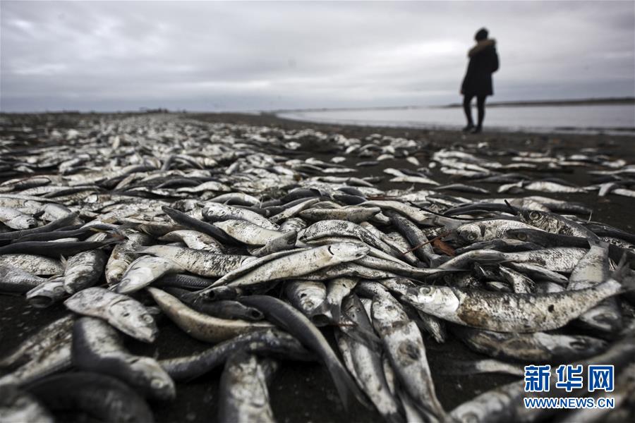
(Photo: Xinhua)
Despite a 70-percent chance of an El Nino developing by the end of this year, its intensity is currently uncertain and a strong event appears unlikely, according to the latest update from the World Meteorological Organization (WMO) on Monday.
The El Nino/Southern Oscillation (ENSO) is a naturally occurring phenomenon involving fluctuating ocean surface temperatures in the equatorial Pacific, coupled with changes in the overlying atmospheric circulation.
It has a major influence on weather patterns, including associated hazards such as heavy rains, floods and drought, over many parts of the world, and also affects global temperature.
El Nino is often associated with warm and dry conditions in southern and eastern inland areas, such as Australia, Indonesia, the Philippines, Malaysia and central Pacific islands; and with milder winters in north-western Canada and Alaska due to fewer cold air surges from the Arctic, a result of a large-scale region of lower pressure centered on the Gulf of Alaska/ North Pacific Ocean.
According to WMO Secretary-General Petteri Taalas, climate change is influencing the traditional dynamics of El Nino and La Nina events as well as their impacts.
The Year 2018 started out with a weak La Nina event but its cooling effect was not enough to reduce the overall warming trend, which means that this year is on track to be one of the warmest on record.
"Despite the recent 'ENSO-neutral' conditions, the globe broadly continued the trend of warmer than normal conditions for May to July, accompanied by extreme weather ranging from record heat in northern Europe and devastating flooding in Japan, India and Southeast Asia. Many of these events are consistent with what we expect under climate change," Taalas said.
The WMO chief predicted that the anticipated El Nino would not be as powerful as the 2015-2016 events, but it will still have considerable impacts, warning that advance prediction of this event will help save many lives and considerable economic losses.
In its first ever global seasonal climate outlook for September to November, the WMO predicts above-normal surface temperature in nearly all of the Asia-Pacific region, Europe, North America, Africa and much of coastal South America, as well as below-normal precipitation in Central America and the Caribbean, parts of southern Asia, eastern Asia and the Pacific.
The September-November forecast also indicates a probable continuation of the observed dry anomalies in East Asia and the Pacific, Central America and the Caribbean. However, these predictions also need to be further calibrated and optimized to derive regional and national scale forecasts.


